Remote Sensing Courses
Remote sensing courses can help you learn about satellite imagery analysis, geographic information systems (GIS), and environmental monitoring techniques. You can build skills in data interpretation, spatial analysis, and remote sensing applications in agriculture and urban planning. Many courses introduce tools like ArcGIS and QGIS, along with software for processing satellite data, that support analyzing and visualizing geographic information.
Popular Remote Sensing Courses and Certifications
 Status: Preview
Pontificia Universidad Católica de Chile
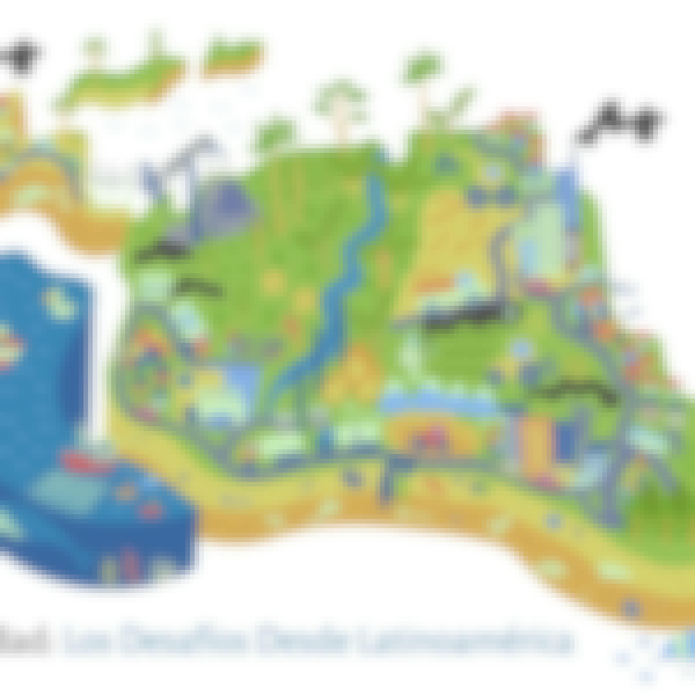
Skills you'll gain: Sustainable Development, Environment, Socioeconomics, Environmental Issue, Sustainable Design, Social Justice, Environment and Resource Management, Sustainability Standards, Climate Change Adaptation, Natural Resource Management, Social Impact
 Status: Free Trial
University of Toronto
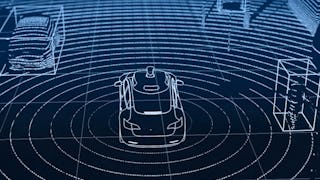
Skills you'll gain: Computer Vision, Convolutional Neural Networks, Image Analysis, Deep Learning, Artificial Neural Networks, Robotics, Machine Learning Algorithms, Linear Algebra
In summary, here are 2 of our most popular remote sensing courses
- Sustentabilidad: los desafíos desde Latinoamérica: Pontificia Universidad Católica de Chile
- Visual Perception for Self-Driving Cars: University of Toronto


